Keep the Chinese text handy for drivers, station staff, and hotel front desks.
Tengzhou is a county-level city administered by Zaozhuang in Shandong.
Verified transport hubs
Getting there: verified stations and airports
The station and airport names below have been matched to official sources. This does not confirm current routes, international service, ticket availability, or transfer times.
Rail滕州站Check current services before you travel
Rail滕州东站Check current services before you travel
Terrain within 15 km
Landscape around the city
Terrain is sampled around the representative city point and may cross the administrative boundary. This is not a hiking guide or an altitude-safety assessment.
Terrain
mostly low-relief plain or basin
Median elevation 65 m
Distance to the coast
186.3 km in a straight line
From the representative point to a 1:10 million-scale coastline
Coastal city status
Not verified
No suitable current city boundary was available to verify this
Official listings
Places to research before you go
These places appear in official lists reviewed for this release. Current opening, booking requirements, and visitor access have not been verified.
滕州微山湖湿地红荷景区
Rivers, lakes & wetlands
Check current opening and visitor access
山东盈泰生态温泉度假村
Hot springs & wellness
Check current opening and visitor access
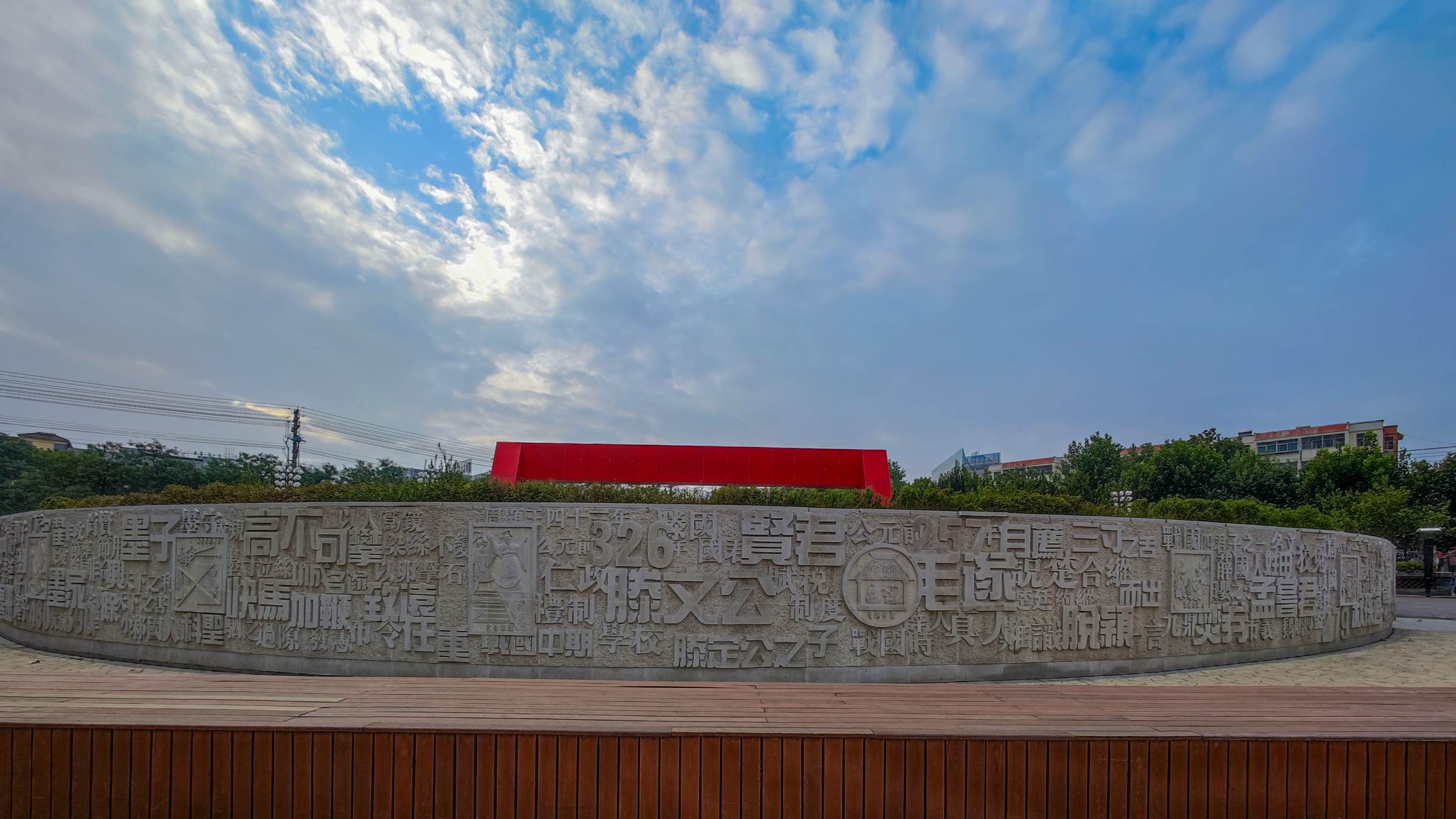
墨子科技文化城
Category not reviewed
Check current opening and visitor access
AMap snapshot · Jul 31 at 22:41 China Standard Time
How the travel scores were calculated
Scores for getting there, accommodation and dining, and attractions use a fixed AMap snapshot and a representative city point. Climate uses a separate 1991–2020 long-term model.
Passenger gateways and nearby transit coverage
Getting there
80.3/ 100
4 of 4 access components available
View route details
To the airport济宁大安机场Verified as a passenger terminal
By car
78 min
Public transit
317 minW0 · Aug 5 at 09:00 CST
To the railway station滕州站Verified as a passenger terminal
Nearby bus-stop coverage proxy12.1 stops/km²25 returned stops within 812 m; conservative lower bound
Snapshot
Jul 31 at 22:21 China Standard Time
Supplementary intercity transit snapshots · not included in this score
Beijing278 minW0 · Aug 5 at 09:00 CST
Shanghai322 minW0 · Aug 5 at 09:00 CST
Shenzhen1522 minW0 · Aug 5 at 09:00 CST
AMap places within 5 km
Places to stay and eat
79.4/ 100
5 km radius · up to 100 places sampled per category
View dining and accommodation samples
Dining74.2
100 places sampled · average rating 3.84 / 5
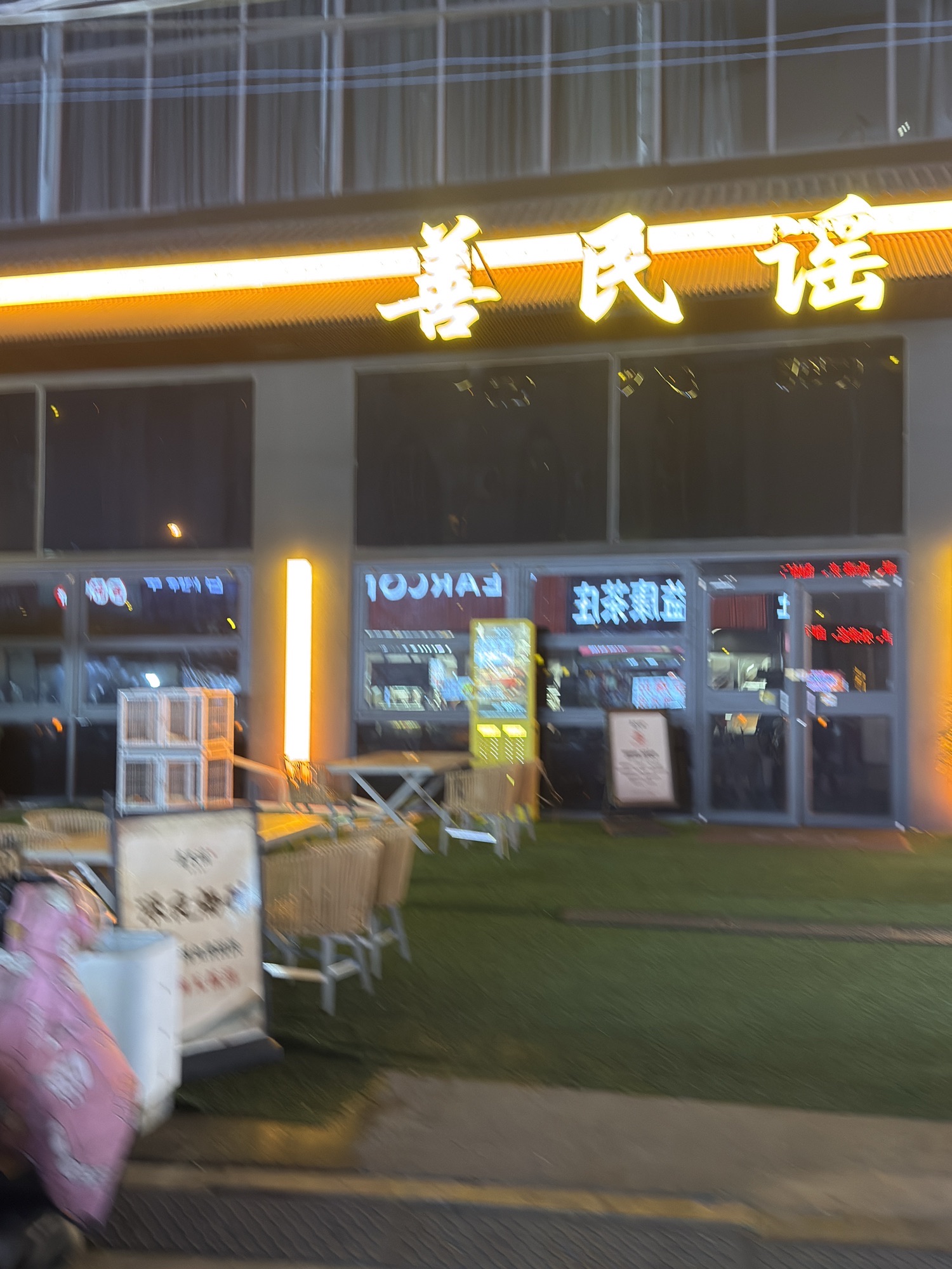
善民谣
AMap 4.6 / 5 · 119 m
永和豆浆(滕州店)
AMap 4.5 / 5 · 175 m
Accommodation87.2
100 places sampled · average rating 4.33 / 5
悦合酒店(滕州火车站店)
AMap 5.0 / 5 · 225 m
空谷幽兰公寓(荆河中路分店)
AMap 5.0 / 5 · 392 m
Official listings, AMap ratings, and drive times
Attractions
90.8/ 100
21 officially listed A-rated attractions · average drive to sampled attractions: 7 min
View sampled attractions
Grade not individually verified
滕州海底世界(真爱店)
AMap 4.3 / 5 · 9 min by car
Grade not individually verified
老县衙遗址公园
AMap 4.2 / 5 · 7 min by car
Grade not individually verified
滕县保卫战遗址
AMap 4.1 / 5 · 4 min by car
Methods, data provider, and image useamap-all-city-experience-v6
Getting there
Verified airport and rail gateways, a qualifying coach gateway, and nearby bus-stop coverage. Intercity snapshots are shown separately and do not affect the score.
Stay & food
AMap place density and ratings within the published radius.
Attractions
Official listings, AMap ratings, and available driving routes.
Ratings and image URLs come from AMap. They are not reviews or images created or owned by this project.
A route that was not returned remains missing. It is never converted to zero, and a verified terminal does not confirm today's timetable.
The bus-stop figure is a conservative density proxy from the first returned page near the representative point, not a citywide stop total. A coach gateway may cross the administrative boundary when it is the nearest qualifying result.
Routes returned in the original W0 snapshot are unchanged. If W0 returned no route, the score uses the first result from W1 or W2. No route across all three windows does not prove that public transit is unavailable.
1991–2020 long-term model
When to go: climate context
Climate is the fourth score component. Seasonal comfort is a planning guide, not a forecast. Check current weather and local conditions before you travel.
Climate comfort51.5 / 100
Rank out of 398
#228
Comfortable days per year
188.2 days
Extremely uncomfortable days per year
4.4 days
Project estimate based on 1991–2020 climate data; not an official city rating.